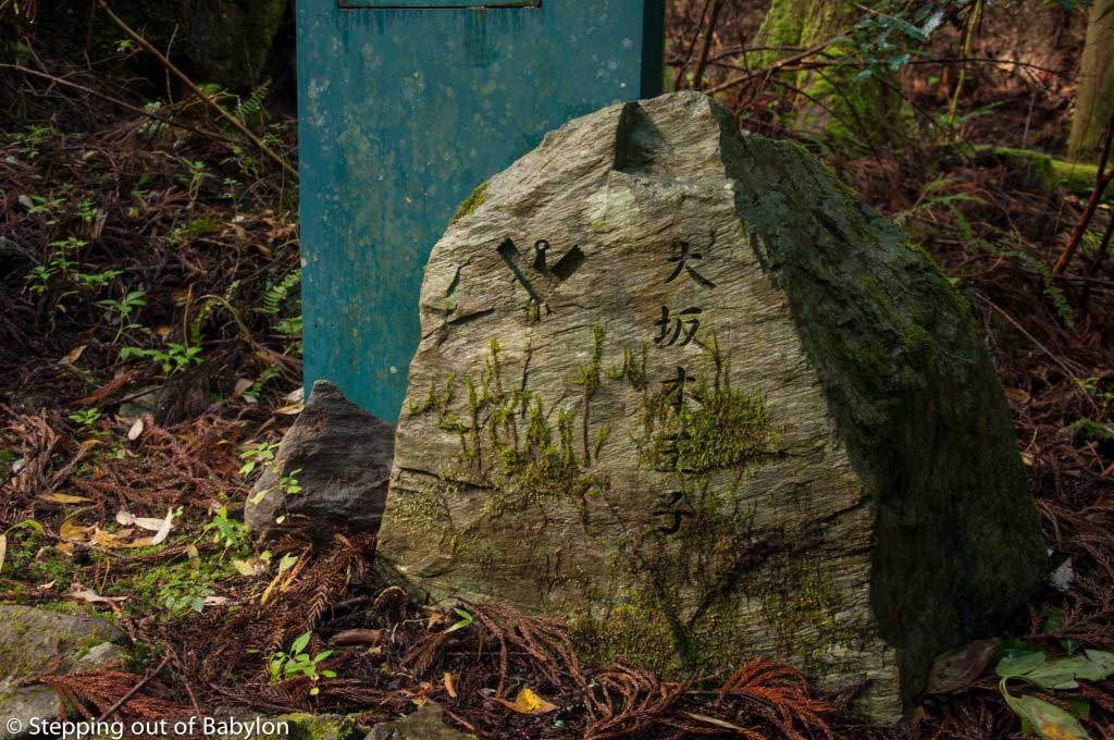
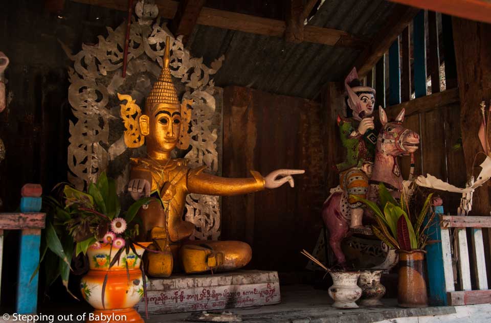
TheYunomine Onsen is an integral part of the over 1000-year-old Kumano pilgrimage tradition, but in fact, this hot spring with its medicinal properties was found much earlier. Pilgrims performed hot water purification rituals in these piping hot mineral waters after their long journey in preparation to worship at Kumano Hongu Taisha.

The onsen, or hot springs as also the public baths (sento) have a long tradition in Japan and nowadays people still visit these places regularly. In the winter it’s a very good way to warm up the body and to relax the muscles.
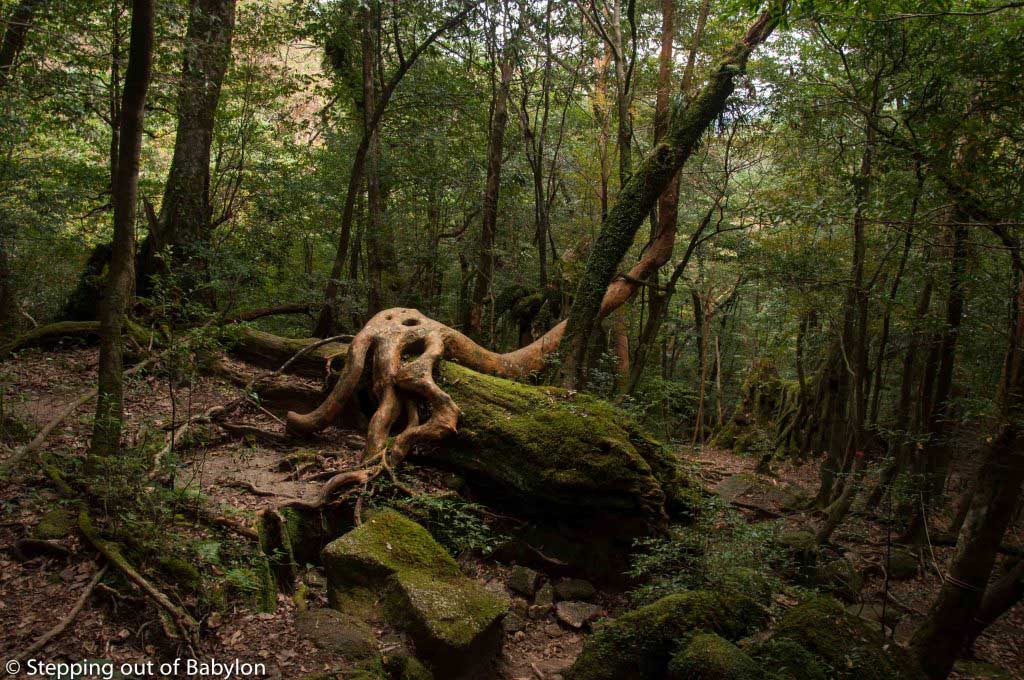
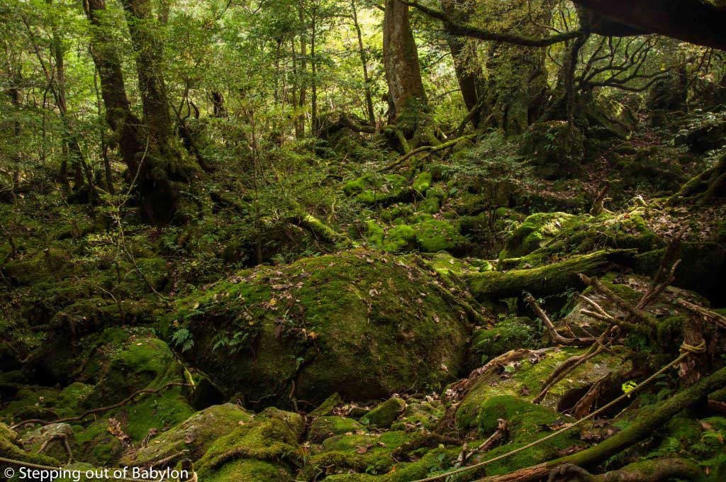
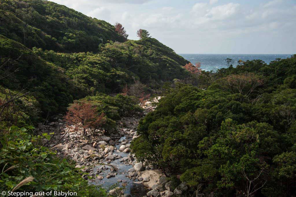
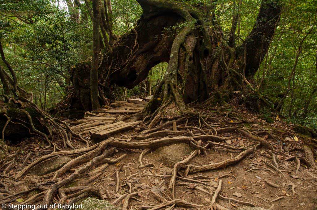
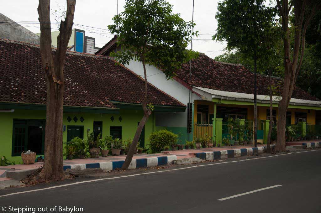
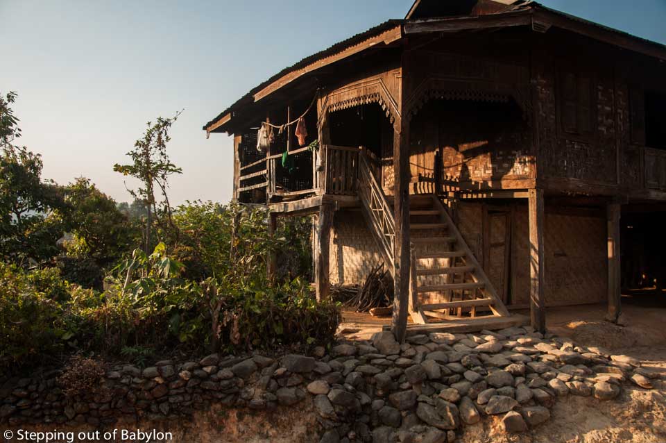
In fact, apart from hiking and soak in the hot springs, Yunomine Onsen doesn’t have much to offer, but there is something in this small village nestled in a valley around the river where the sulfur hot waters emerge, that grab me and made me want to stay longer than I had initially thought.
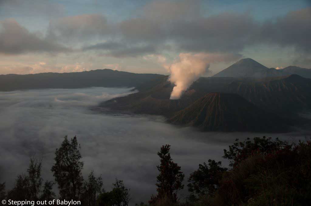
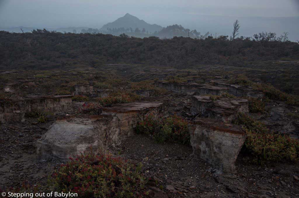
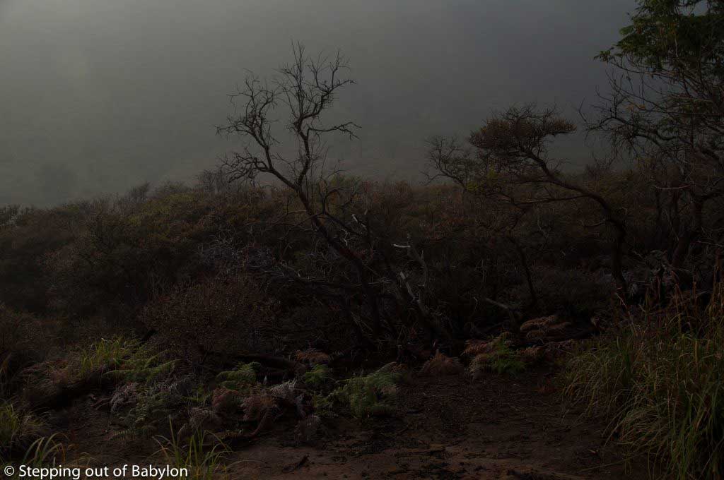
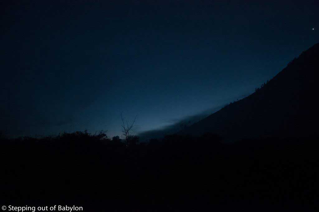
There’s a kind of fairy tale atmosphere where the dim light of the cloudy winter days increases the sensation of being in an unreal place. The nights were rainy, and despite not being in a high altitude, November brings low temperatures during the night, creating a morning mist that takes hours to shed from the thickly overgrowing mountains that surround Yunomine.
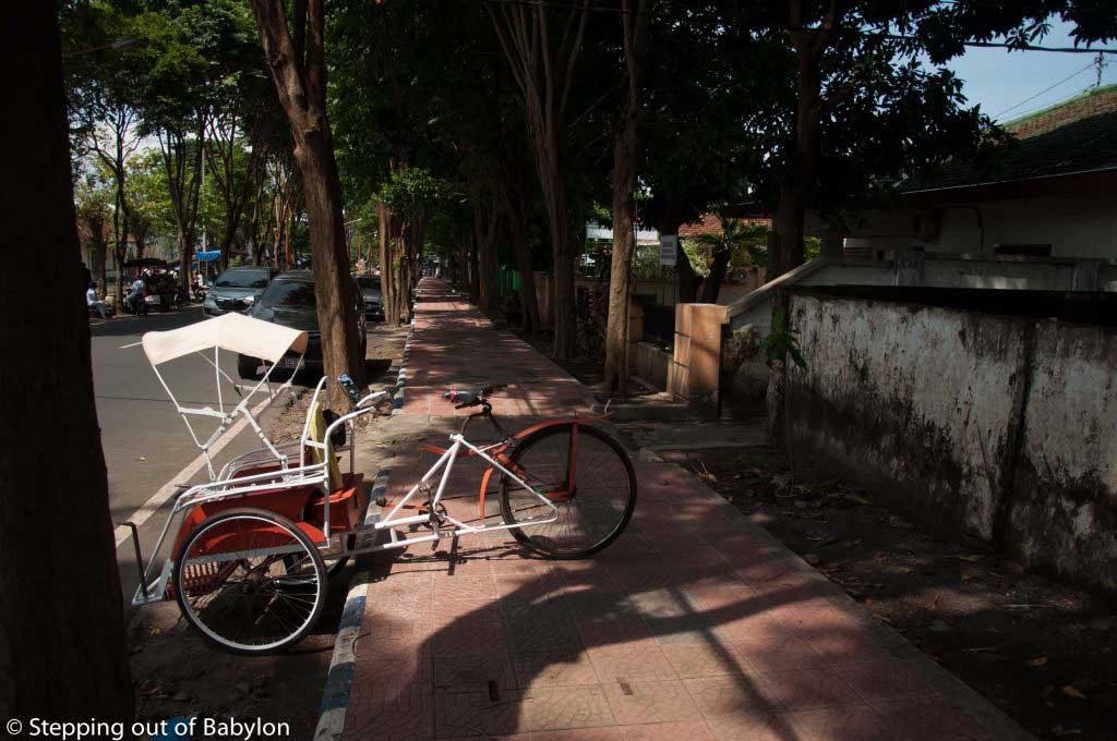
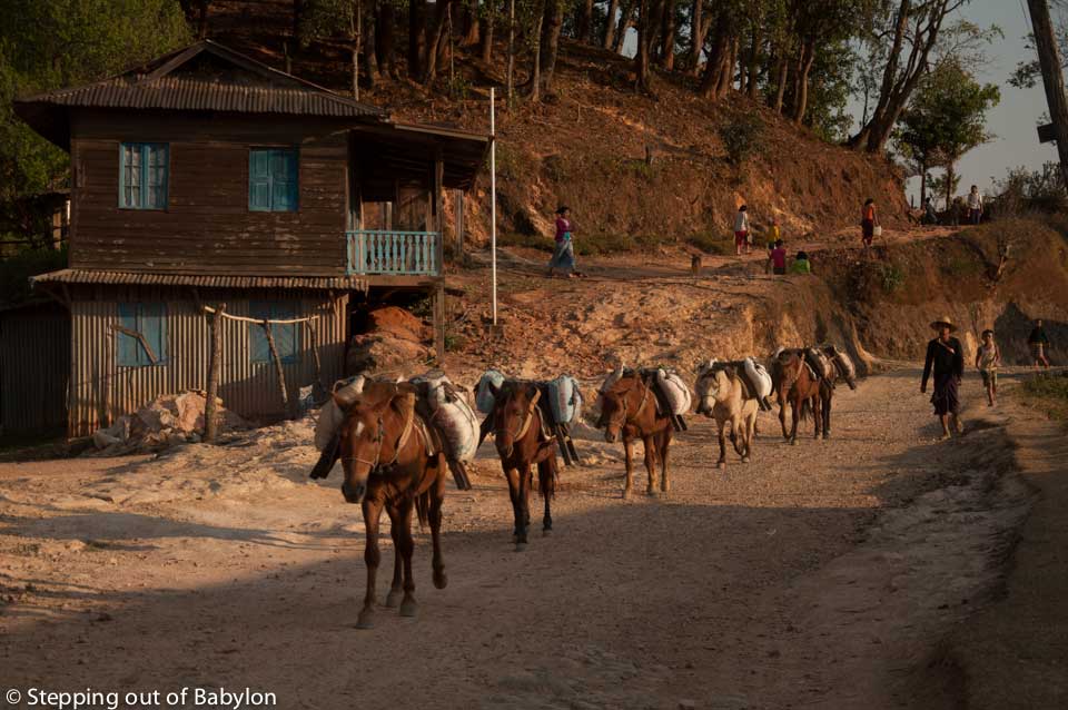
Yunomine Onsen lives at a slow pace marked by the arrival of the local bus that brings new visitors and pilgrims, and by the hikers, that along the day slowly emerges from the forest. And Yunomine is a perfect place to recover from a hard and long hike, where it’s easy to connect with the rhythm of nature!
I confess that since the first time that I try the onsen in Japan I become really fond of it, and never lose a chance to try the hot springs if they are close by or easy to reach. It’s a very good way to warm up the body in the cold winter days but apart from that, there is also a relaxation feeling that can’t be reached in another way. It’s not just about relaxing the muscles but there is also an interior relief, that many times come out as a sigh or deep breath.
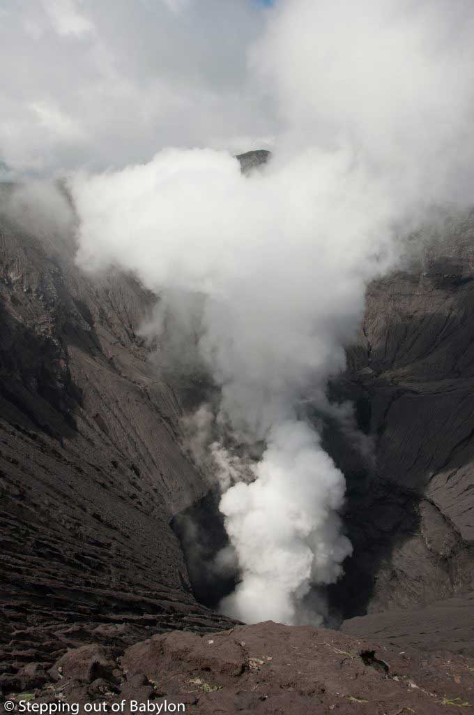
But Tsuboyu, the oldest hot spring in Japan has something special. It’s basically a hole created by the rock in the river where the water emerges between the stones with a milky color and with a lot of floating things that look like cooked egg white, that are called Yu-no-hana, or hot spring flowers, that are floating white mineral deposits and that are a sign of the medicinal qualities of the water.
These waters are believed to have healing powers and they are also part of the purification ritual that the Kumano Kodo pilgrims perform on the way to Hongu Taisha.


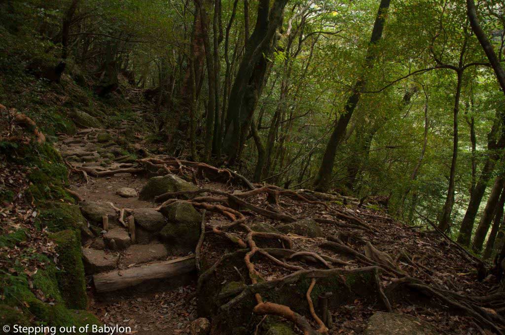
With Yunomine as a base point, there are several options for day hiking:
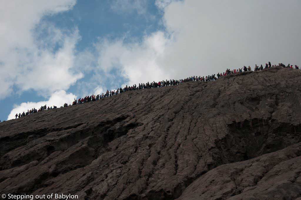
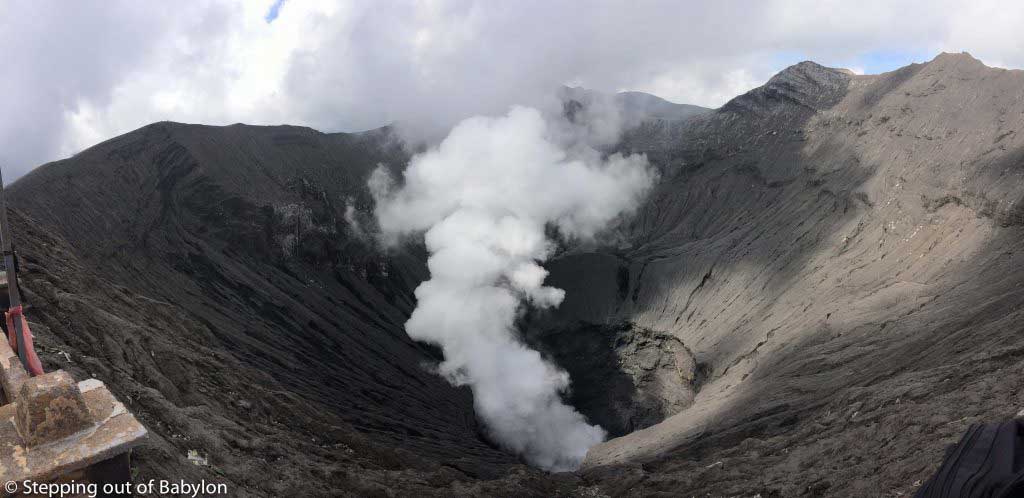
- The easiest option is to make Akagi-goe trail (6km) until reach Akagi-goe junction (close by Hosshinmon Oji) and from there take the Nakahechi Trail to Kumano Hongu Taisha (10km),
one of the most important shrines of Kumano Kodo; return to Yunomine by the short
but steep trail of Dainichi-goe (3.5
km). Like this you can make a loop, starting and finish in the Yunomine Onsen,
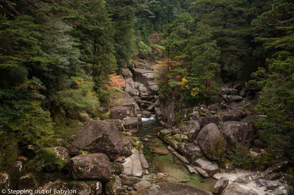
that doesn’t take you more than 4 hours. - IF you feel with more energy, hike the Nakahechi Trail, from Akagi-goe junction until the detour
pass (Jagata-Jizo), which is about 6 km; it’s a bit more demanding as you also
need to do the Akagi-goe trail (6 km more). Unfortunately, or not, to do
this part of the trail you have to go back the same way, as there isn’t the
possibility to make a loop or to find a bus along the way to return to Yunomine
Onsen. It took me 7 hours in total so it’s better to start early morning if you
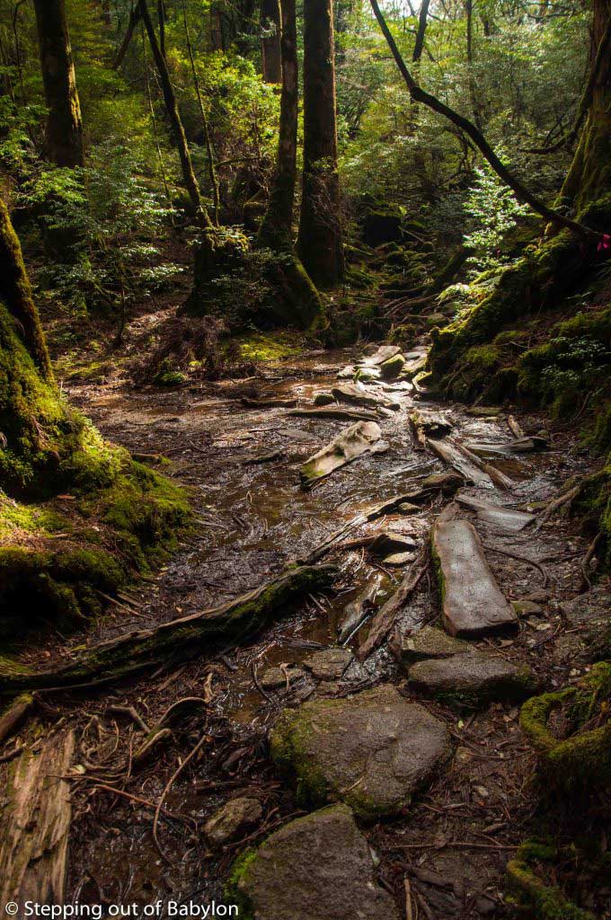
are hiking in the short winter days. - The third option is to hike the part of the Nakahechi Trail that goes from the
Hongu Taisha to Nashi Taisha. For that, you need to take the bus from Yunomine
Onsen to Ukegawa, and that is the
beginning of the second part of the trail, as the forest path suffers a break
after Hongu Taisha. From Ukegawa
it’s an easy walk until Koguchi,
where you can find a bus that brings you back to Yunomine Onsen. It’s about 4
hours hike with gentle slopes.
See more at Kumano Kodo… walk the spiritual path?!


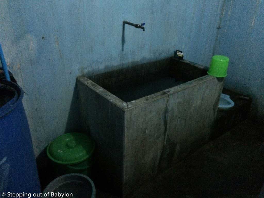
At Yunomine there are three onsens:
- Tsuboyu, a small wooden hut located in the river that cross the village; it’s a private
onsen, which means that it’s for one person each time as there isn´t a gender
separation: 780 ¥ and you can only
stay for 30’ minutes… maybe it isn’t the most charming place but is, without
doubt, the most special onsen that I try! Here you need to bring your own
stuff, like soap and shampoo and there are not towels to rent or sell. - Medicine bath, it’s a small pool where the water is cooled down without being added
cold water: 390 ¥. Here you can’t
shower with soap or shampoo. - Public bath, have the hot spring water is cooled by adding cold water: 260 ¥
Check more details at: http://www.tb-kumano.jp/en/onsen/yunomine/


But if you want something more sophisticated you can walk to Wataze Onsen (900 ¥), about 40 minutes from Yunomine and there you find a more sophisticated onsen, with a pool inside and 4 pools outside with water at different temperatures. There’s a small garden, and over the fence you can see the mountains. Soap, shampoo and conditioner are provided for free.
The Kawayu Onsen, in the river, is a bit far and didn’t have the opportunity to visit it.
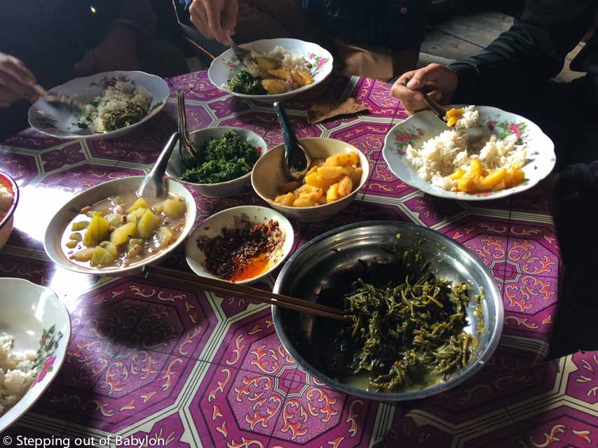
Where to eat in Yunomine onsen:
Apparently, some of the ryokans have restaurants but I didn’t try as I found one place, very simple and informal that suite me perfectly.
It’s called Yunomune Tea House but doesn’t have the name in western characters (but has a menu in English with pictures) but is a small bamboo construction just behind the Toko-ji Temple. There you can find several noodle soups, all of them delicious (several vegetarian options), with the prices from 550 ¥ until 800 ¥. Opens everyday from 7a.m. until 5p.m. The owner is far from look friendly but is indeed a very nice and gentle person.
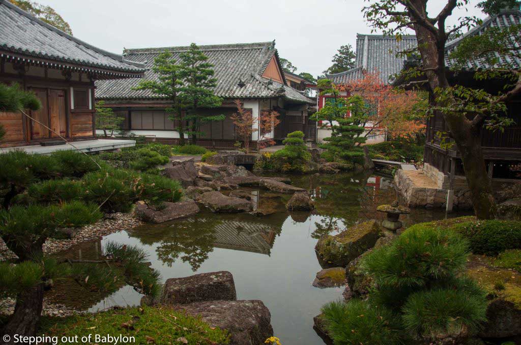
At Hongu Taisha you have many more options to buy food as also a bigger choice of restaurants.


Shopping for hiking in Yunomine onsen:
Yunomine doesn’t have many options for shopping. The small supermarket closes on Mondays and doesn’t open early, so you need to prepare your stuff in the day before if you want to start early the hiking day.
For fruit, tofu (here you can find goma-tofu, that is made with sesame), cookies, chocolates and snacks there is also a small grocery shop.
The J-Hoppers Guesthouse sells a few things that you can use as a dinner as also to bring with you to eat during the day when you hike. They sell eggs, instant soup, rice, etc…
How to go from Yunomine to Tanabe or Hongu Taisha:
See the detail schedule at Kumano Kodo… Spiritual path?!?!
How to more around Yunomine Onsen by bus: