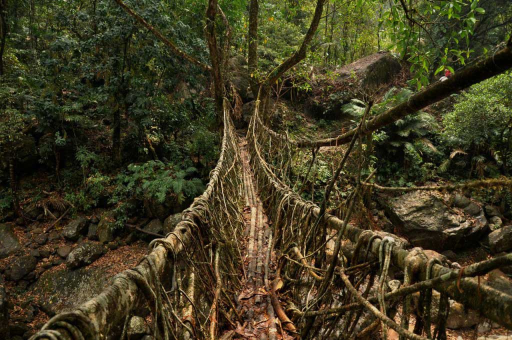
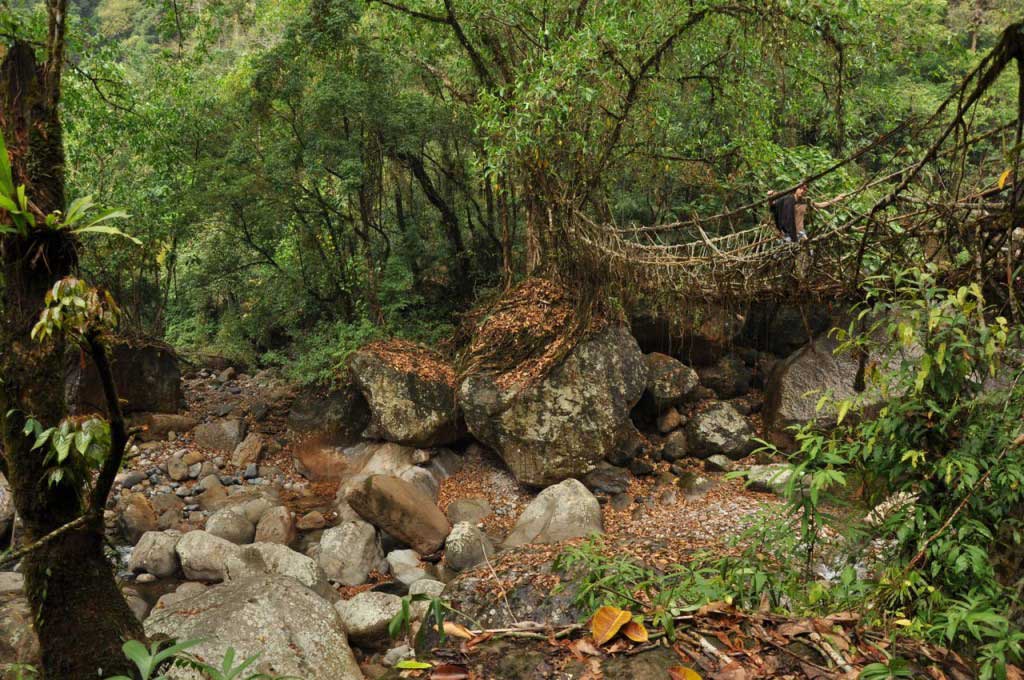
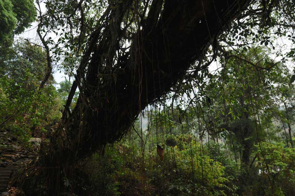
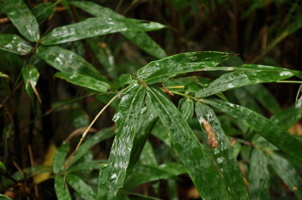
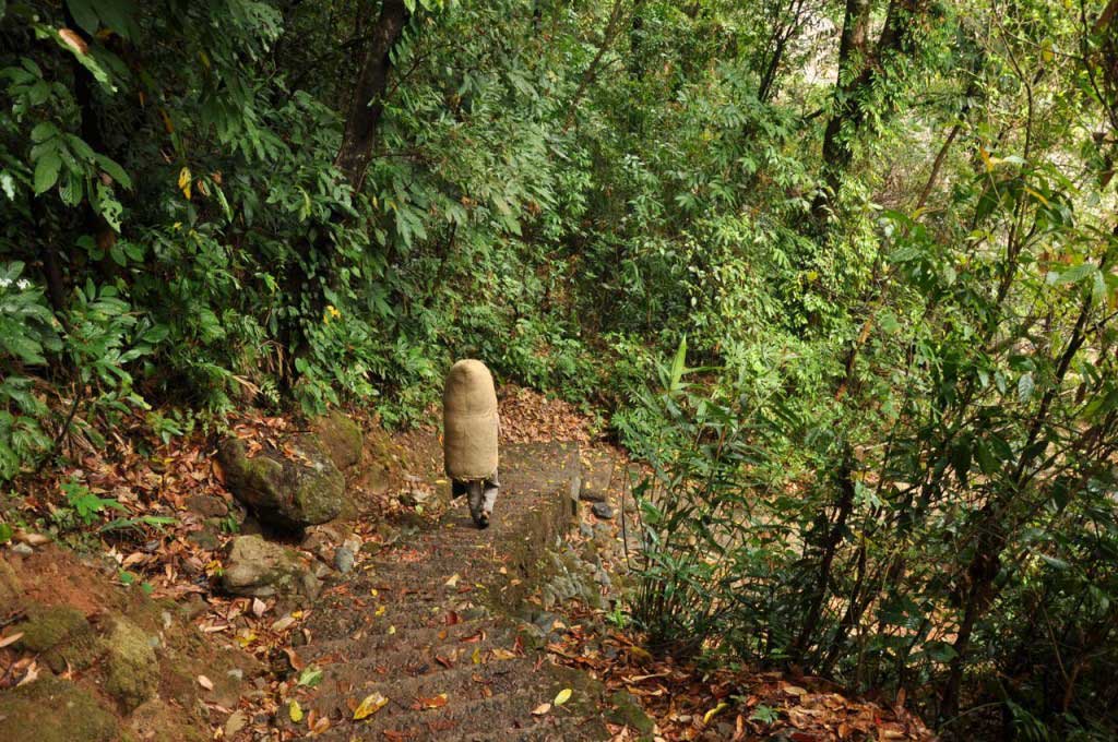
The enchanted forest where grow bridges made of tree roots, where time seems suspended in a dream, where nature does magic tricks, where the light gets filtered through the ceiling formed by the treetops, where we are transported to another dimension, as if we had entered in a world where fairies and gnomes watch us through mosses and raindrops.
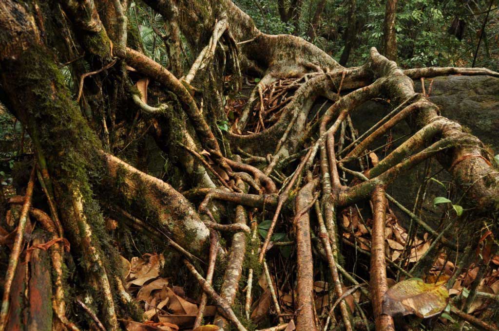
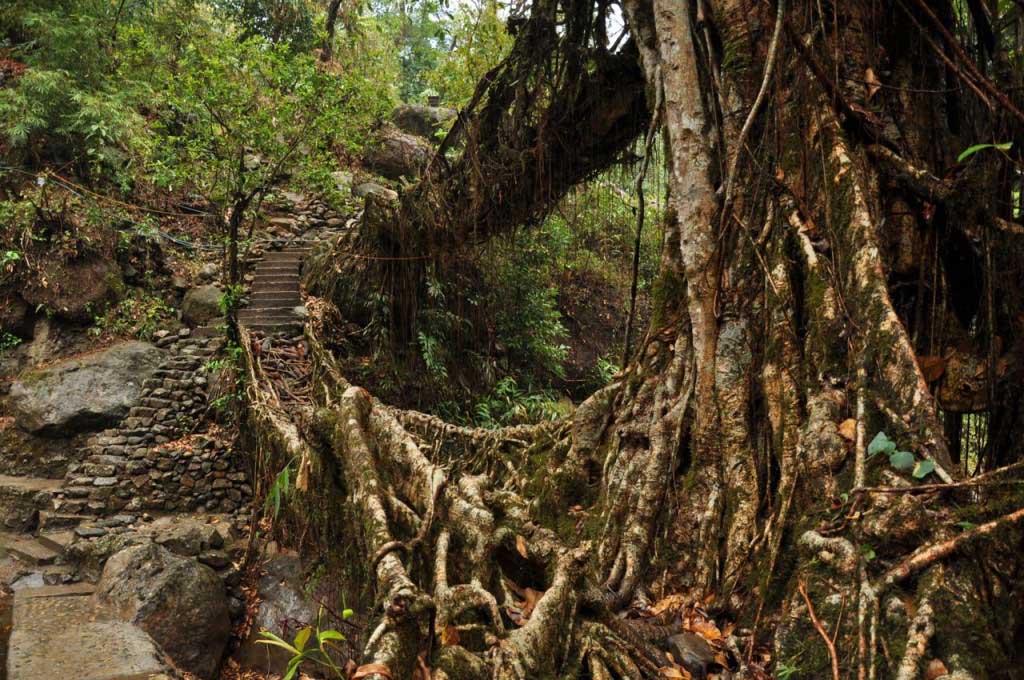
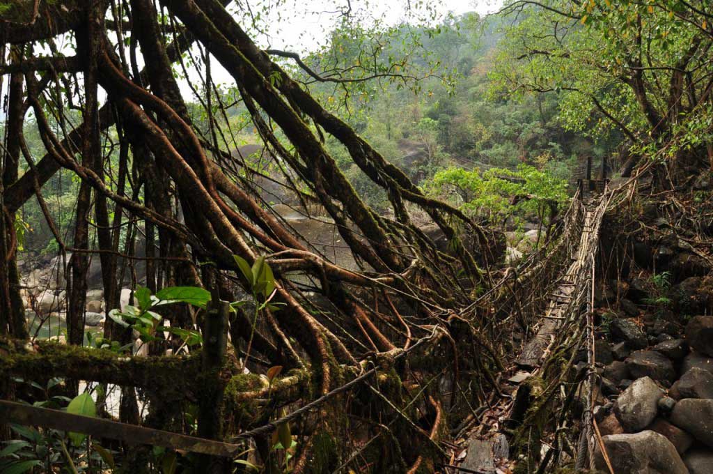
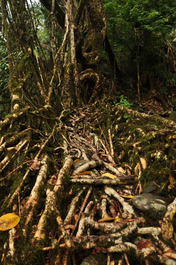
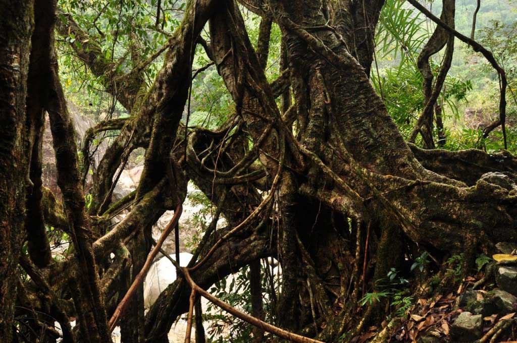
The bridges created by the patient hand of man, seem to come directly from the trees, as if they had decided to reach out to the other side of the river, merging with stones and relying on the trunks. A discrete layer of moss and lichen cover the surface form by these living structures, a shelter for insects and tiny animal life, which seems indifferent to human engineer skills.
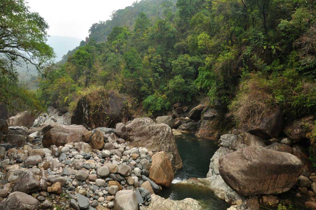
But not only the bridges make this place special. The surrounding landscape, which adds the fantastic atmosphere that is perceived in the middle of the forest, from where emanates such energy, able to rejoin the man to our primordial roots, catalyzing the exchange of energies.
There are no words to describe the magic of this place… and the photos can only give a visual impression, not containing the forest energy, with the harmonious nature sounds, neither the sensations that flood our senses, making the memories of days spent in Nongriat a dreamlike memory.
… A place where we are observed by fairies, goblins, elfes and gnomes!


More about Nongriat living root bridges:
The living root bridges are work of human engineering, when man learn how to take advantage of nature, in a perfect harmony. Taking advantage of the long aerial roots of an endemic tree (ficus erratica), the local population intertwining these roots with logs and bamboos, along generations, creating vegetable bridges to cross the rivers that run through the valleys of Khasi Hills.
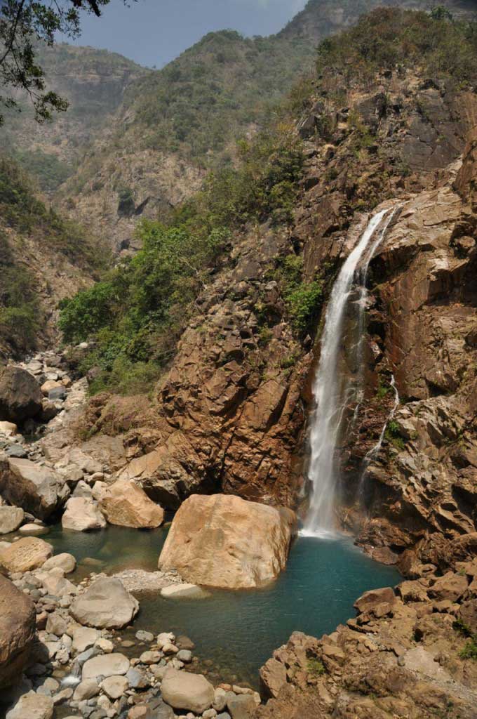
Each one of these bridges, adapts perfectly to the site, seem to merge with nature. Going down the hill towards Nongriat, the Jingkieng Pi-Tymmen bridge, the longest of this root bridges. After crossing Nongriat village we arrive at the famous double-deck bridge, whose two levels resulting from the need to cross the river when the monsoon rains make the river submerge the lower level of the bridge. Walking towards the Rainbow Waterfall we cross the Maw Saw bridge, that has the most mysterious and fantastic atmosphere.
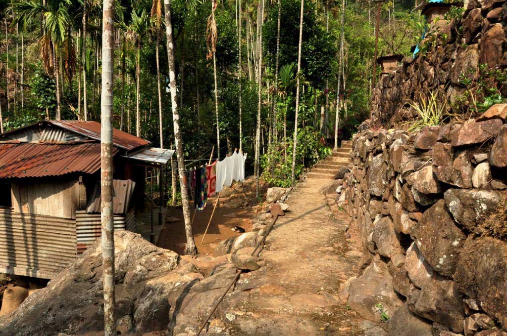
There are several bridges made from roots of the ficus tree in Khasi Hills, but Nongriat has the privilege to have a higher number, making this village a good base for exploring paths and discover other living root bridges.
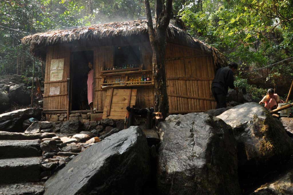
Where to stay in Nongriat:
http://steppingoutofbabylon.com/en/2016/07/nongritat-and-the-living-root-bridges/
Where to eat in Nongriat:
http://steppingoutofbabylon.com/en/2016/07/nongritat-and-the-living-root-bridges/
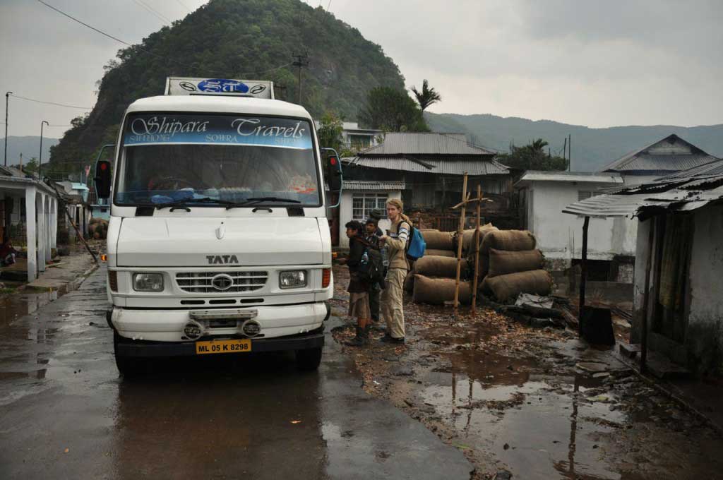
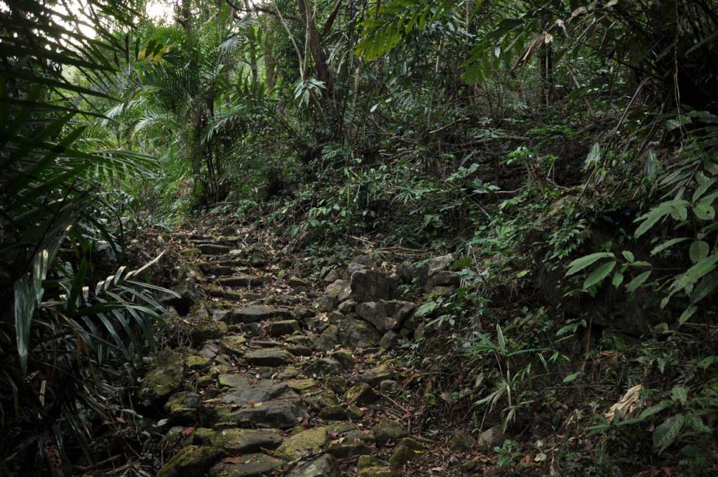
How to go from Sohra (Cherrapunjee) to Nongriat:
http://steppingoutofbabylon.com/en/2016/07/nongritat-and-the-living-root-bridges/


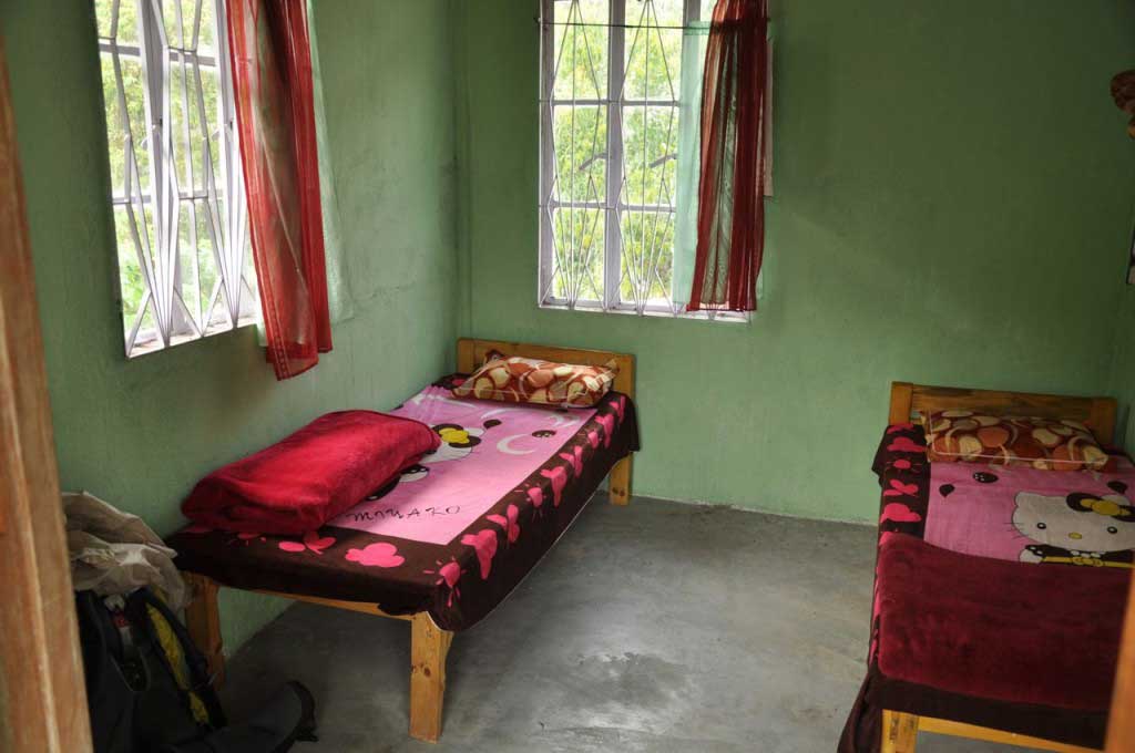
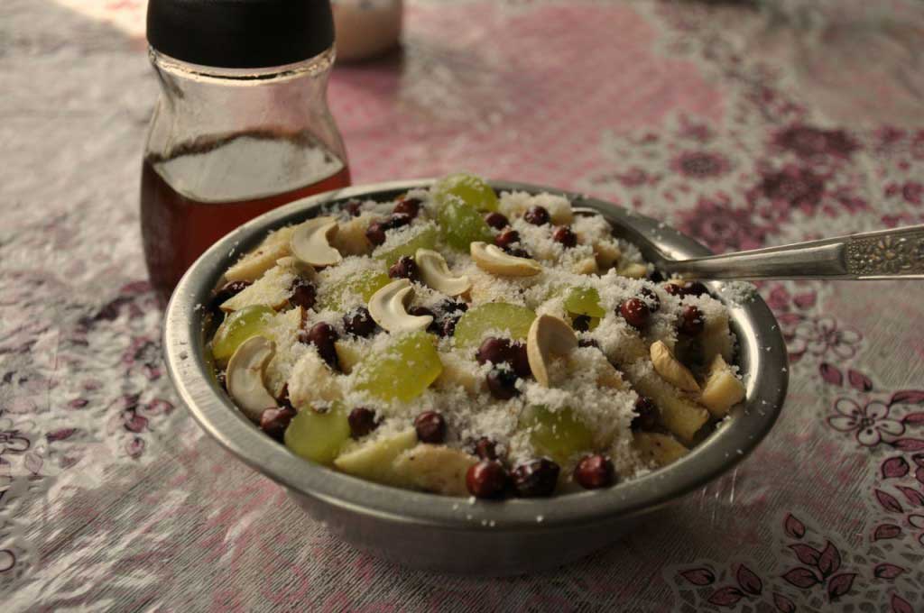 pequeno-almoço no Serene Homestay, em Nongriat